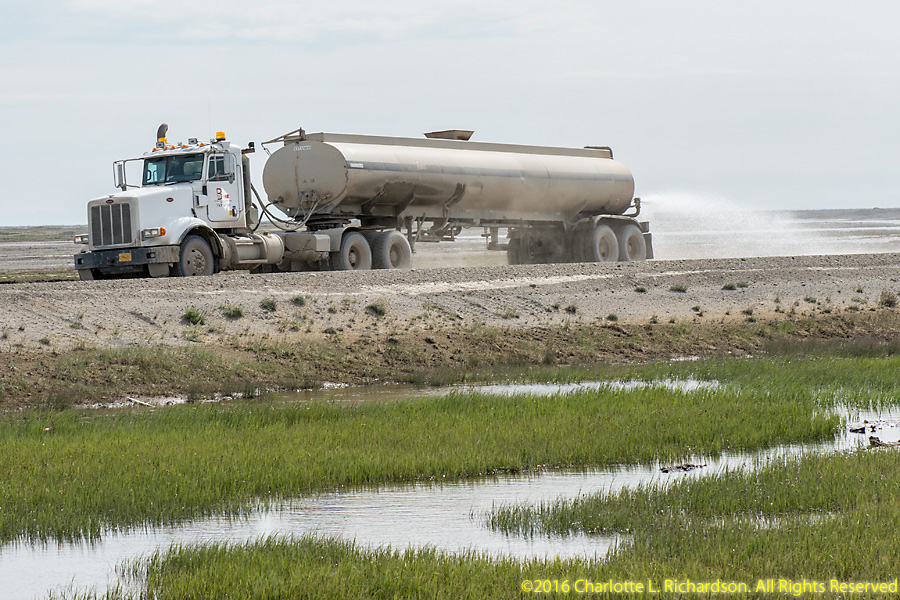
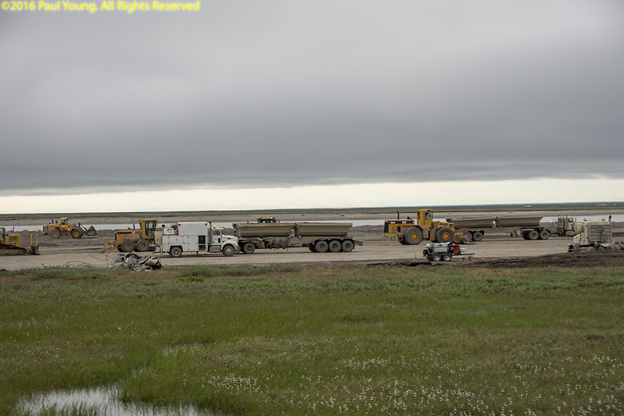
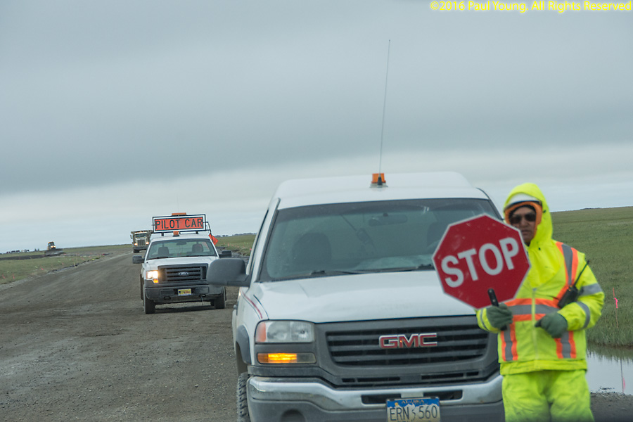
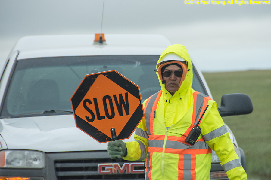
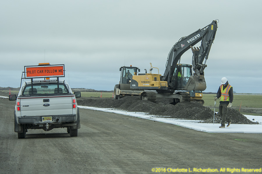
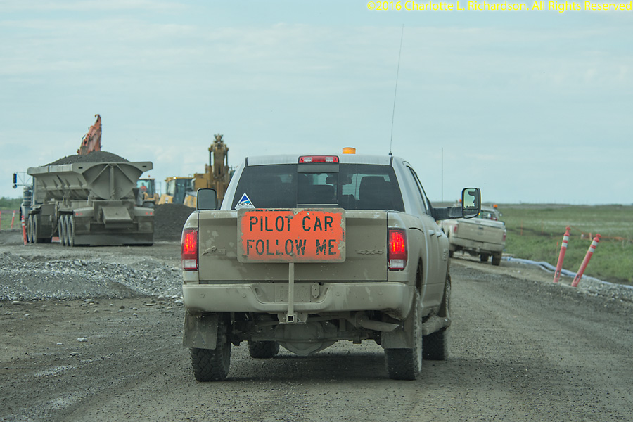
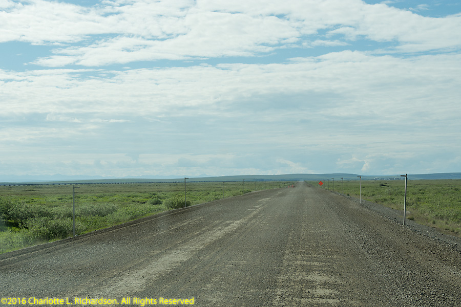
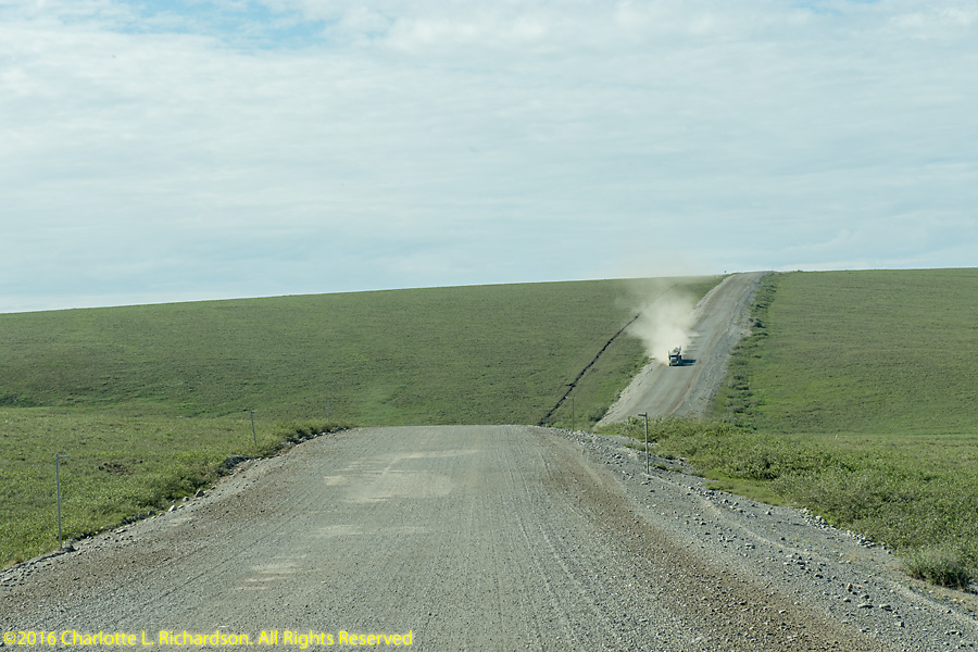
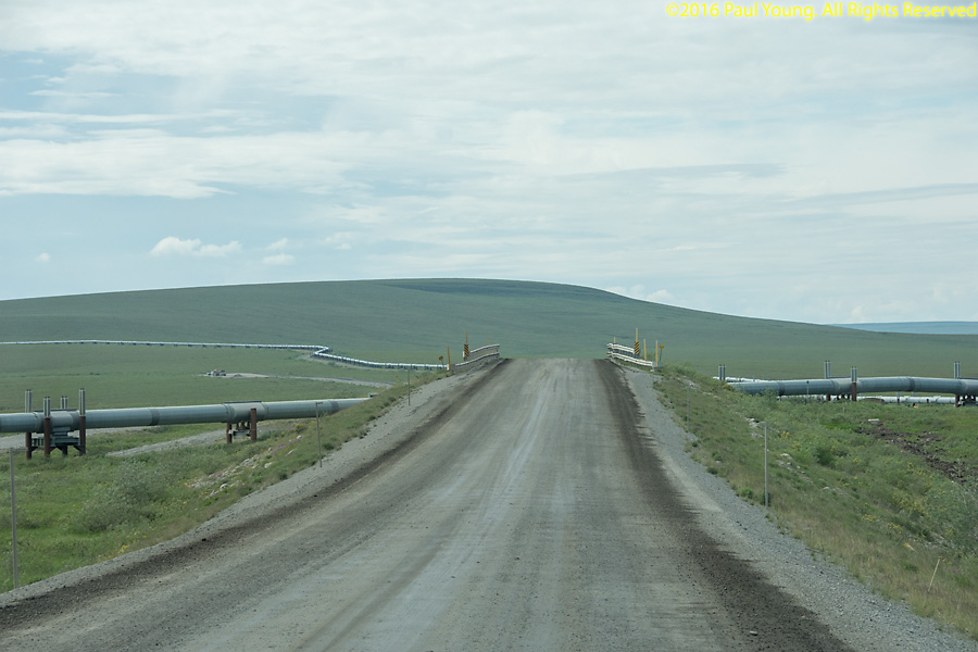
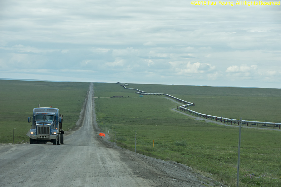
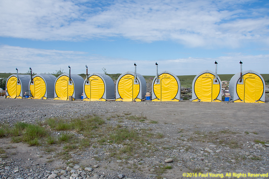
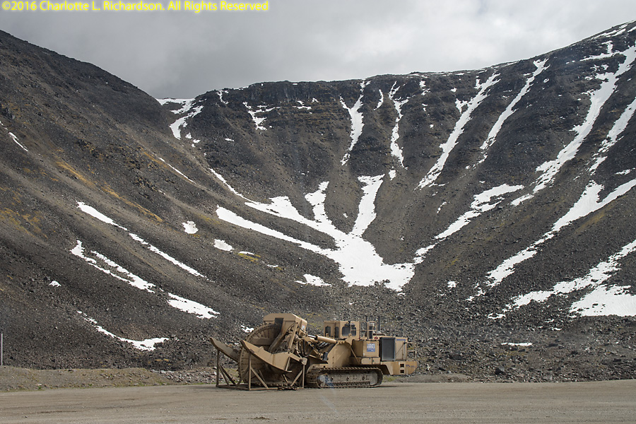
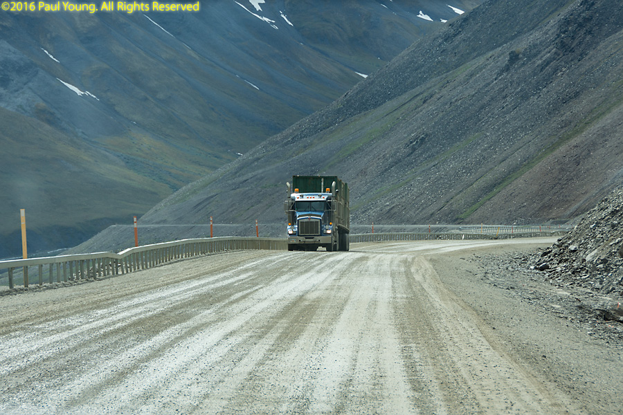
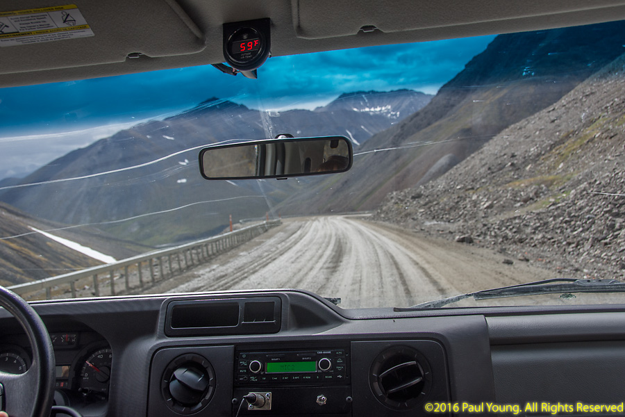
Road construction, with mandatory flagmen and pilot cars, keeping the Dalton Highway passable. Near Deadhorse watering trucks keep the dust down in this windy environment.
The Arctic National Wildlife Refuge, the size of the state of South Carolina, is just east of the Dalton Highway on the northern side of the Brooks Range.
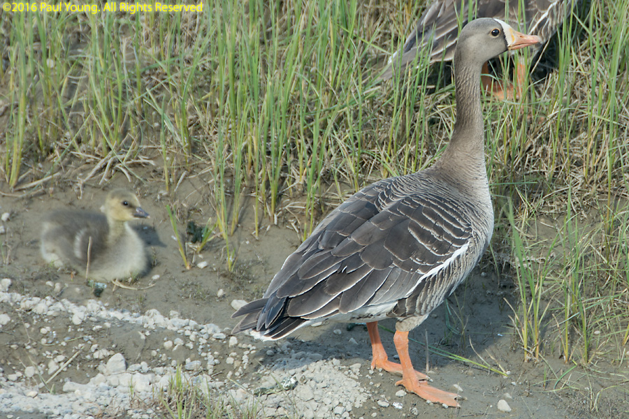
Birds:
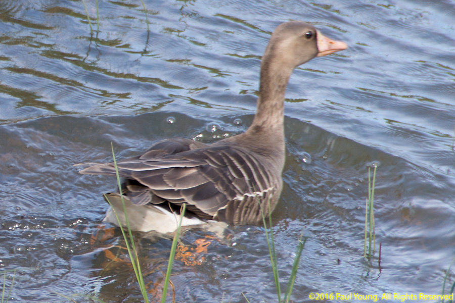
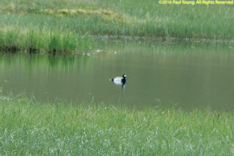
Greater white-fronted geese, Anser albifrons
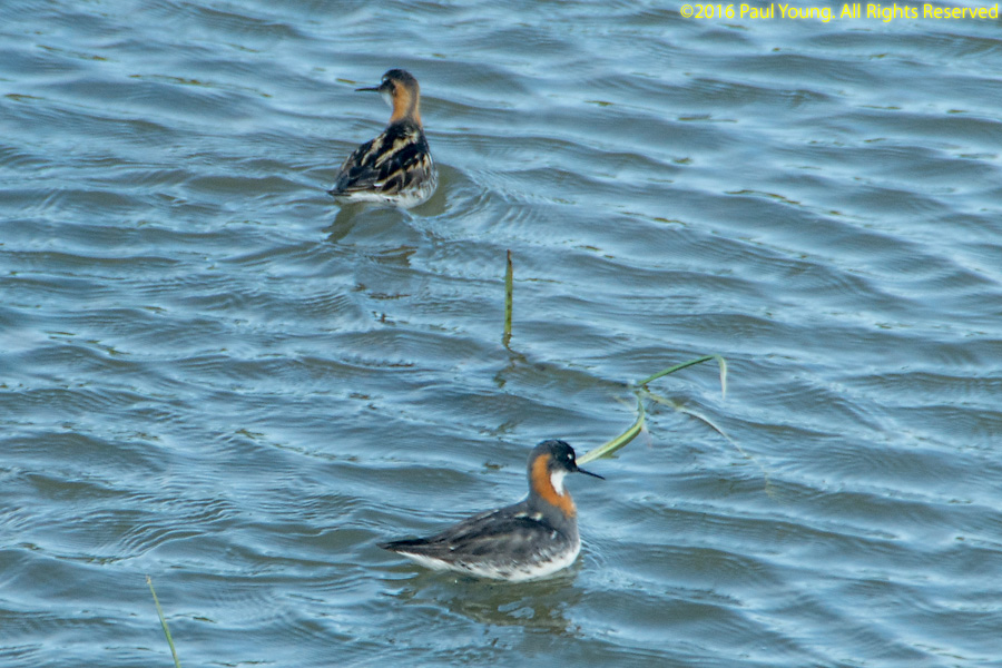
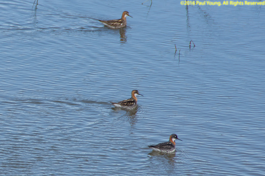
Red-necked phalarope, Phalaropus lobatus
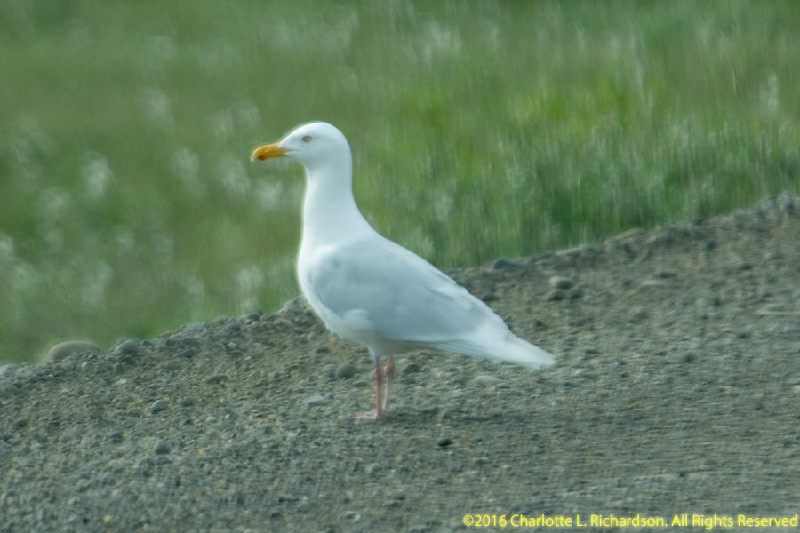
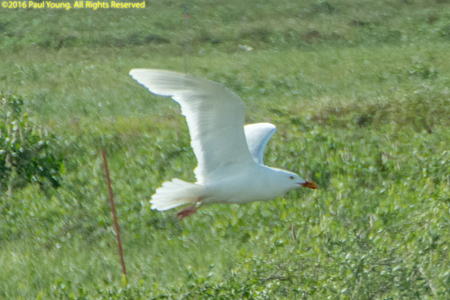
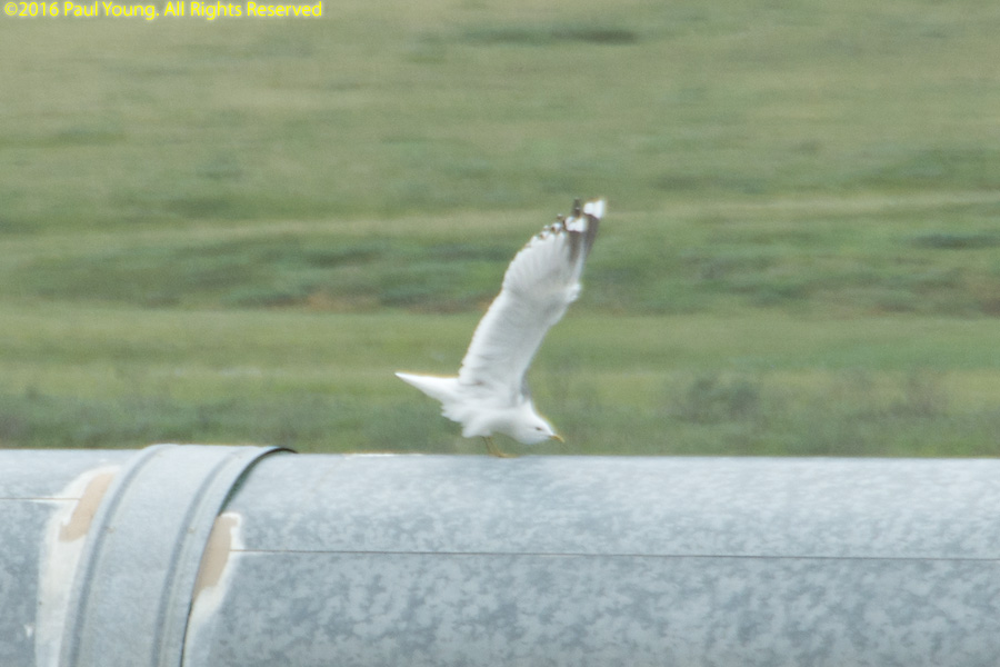
Glaucous gull, Larus hyperboreus, and Mew gull, Larus canus
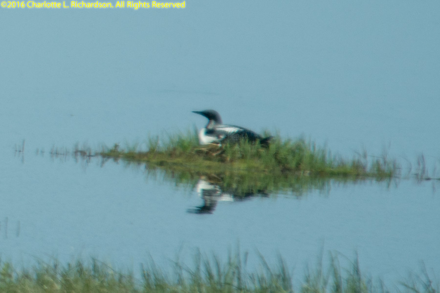
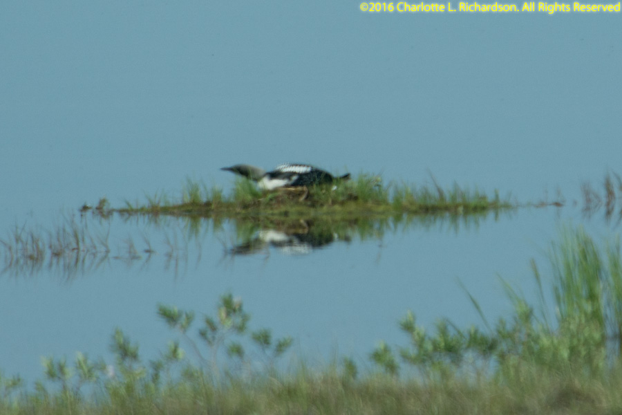
Pacific loon, Gavia pacifica
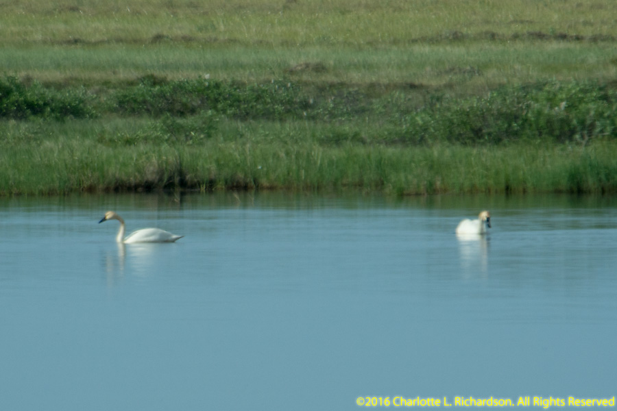
Tundra swans, Cygnus columbianus
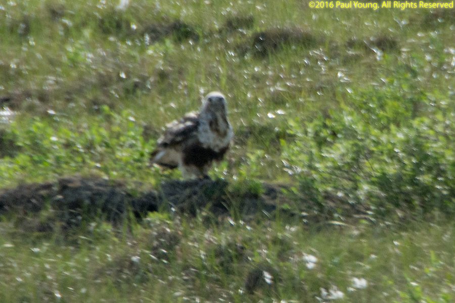
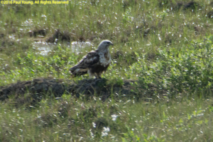
Rough-legged hawk, Buteo lagopus
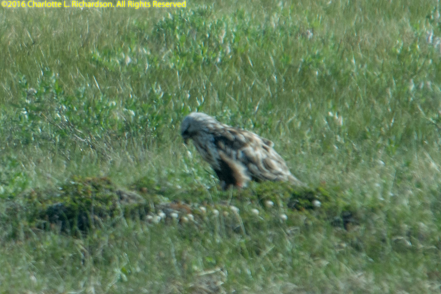
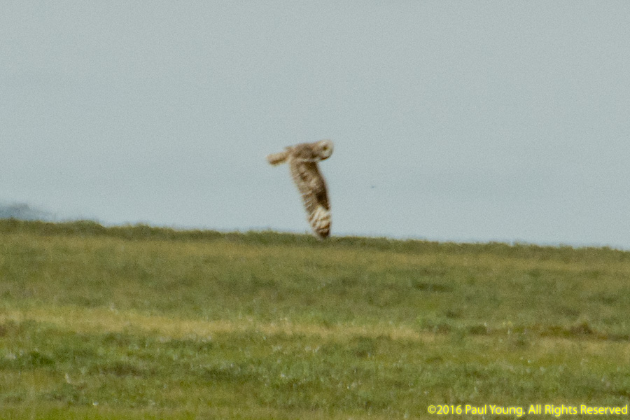
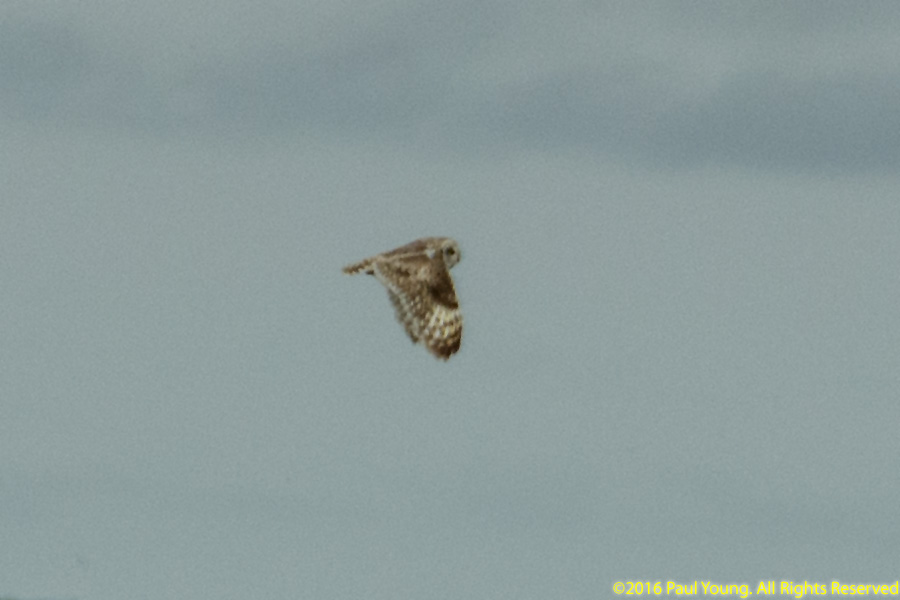
Short-eared owl, Asio flammeus
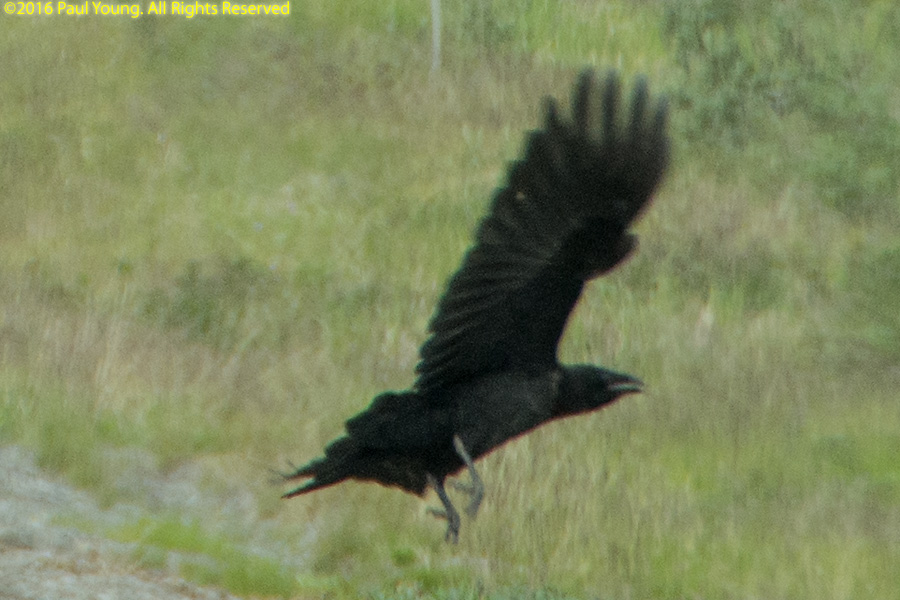
Common raven, Corvus corax
Greater scaup, Aythya marila
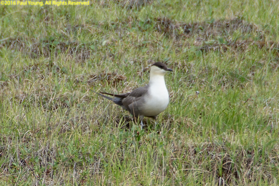
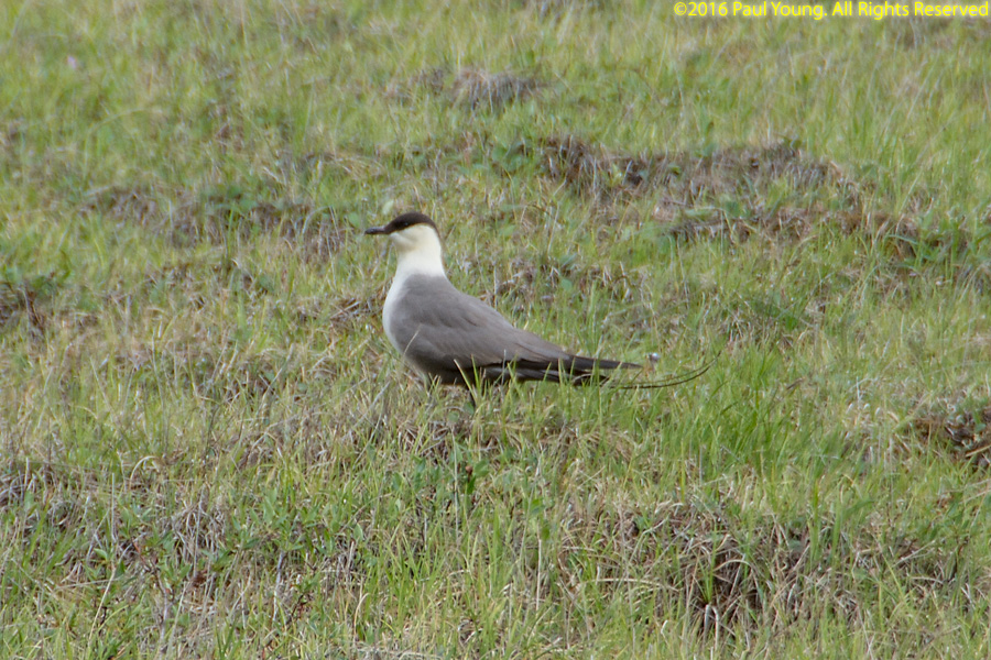
Long-tailed jaeger, Stercorarius longicaudus
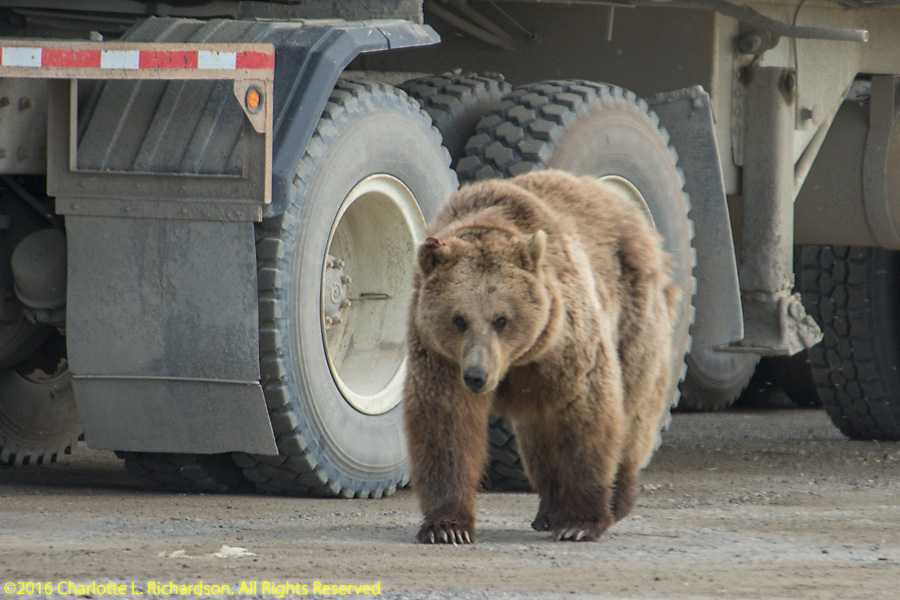
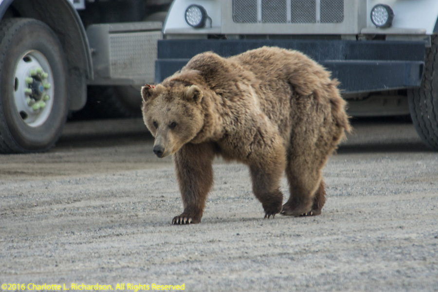
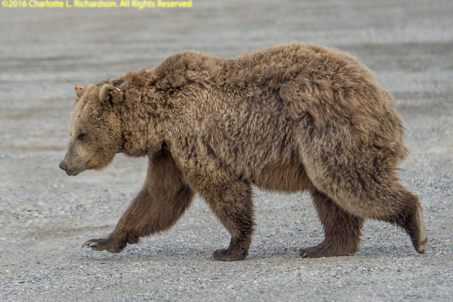
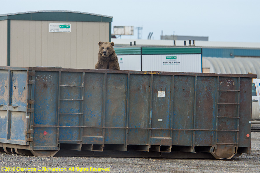
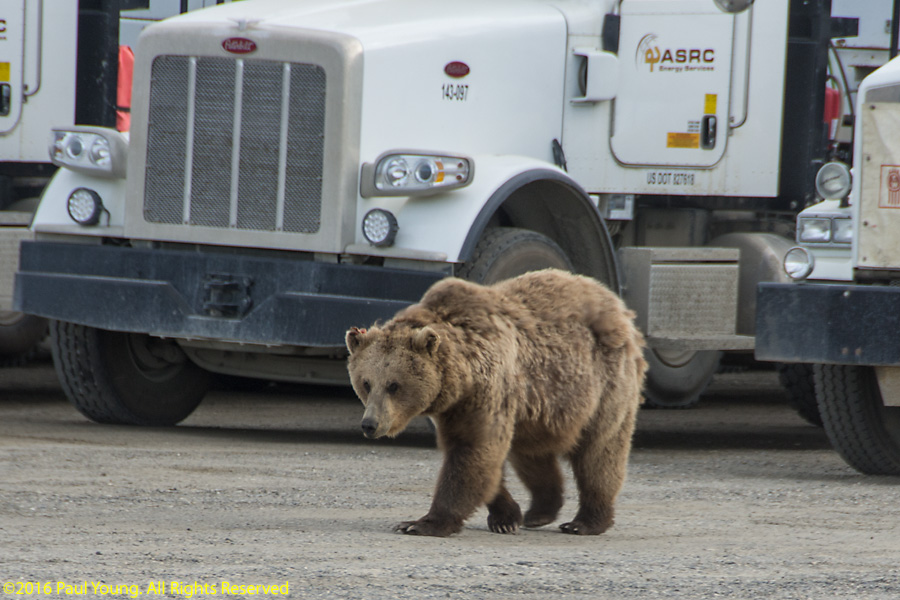
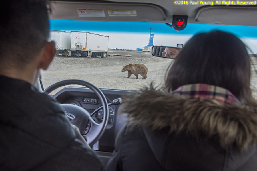
Grizzly bear, Ursos arctos horribilis, in Deadhorse. Clearly this bear has been in trouble before; it had ear tags on both ears and wore a radio-tracking collar.
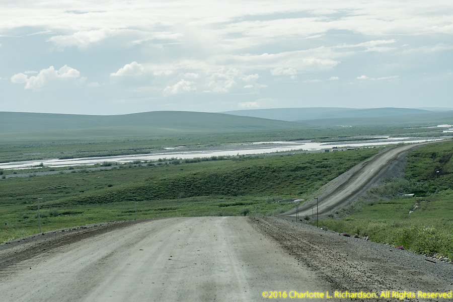
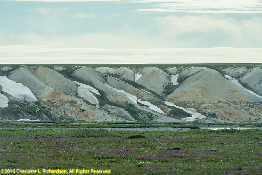
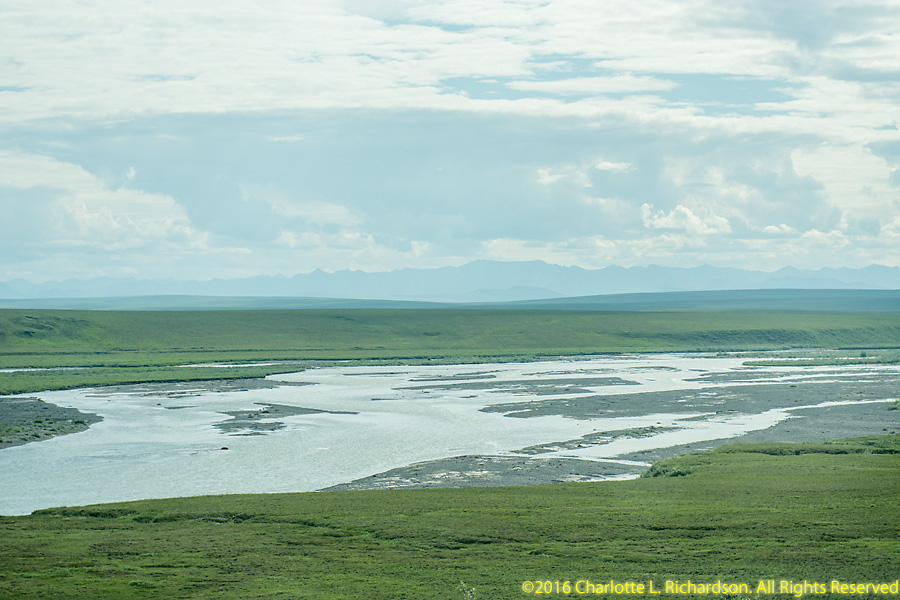
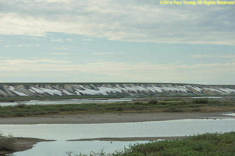
Sag (Sagavanirktok) River: The Franklin Bluffs on the east shore of the river are a prime peregrine falcon nesting area. Iron-rich soils give the bluffs their color. The area is named for British explorer Rear Admiral Sir John Franklin, who mapped the arctic coastline and searched for the Northwest Passage. Franklin and the entire crews of his two ships, the H.M.S. Erebus and the H.M.S. Terror, perished on his last expedition in 1847 attempting to chart and navigate a section of the Northwest Passage in the Canadian Arctic when the ships became icebound. The wreck of the Erebus was finally found in September 2014 and the Terror in September 2016.
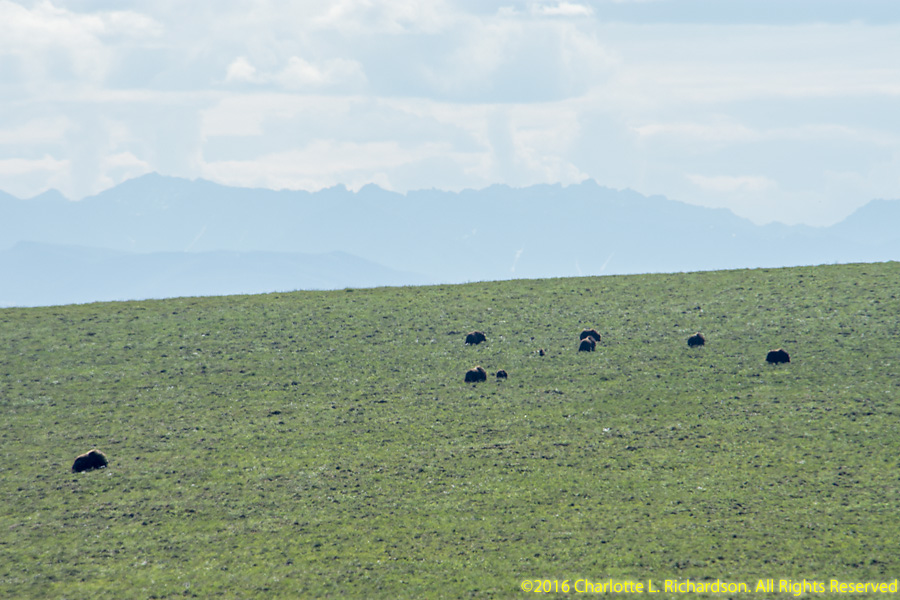
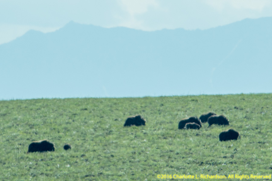
Musk oxen, Ovibos moschatus
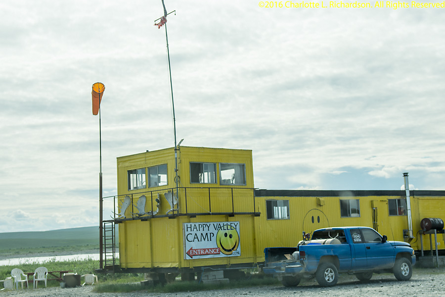
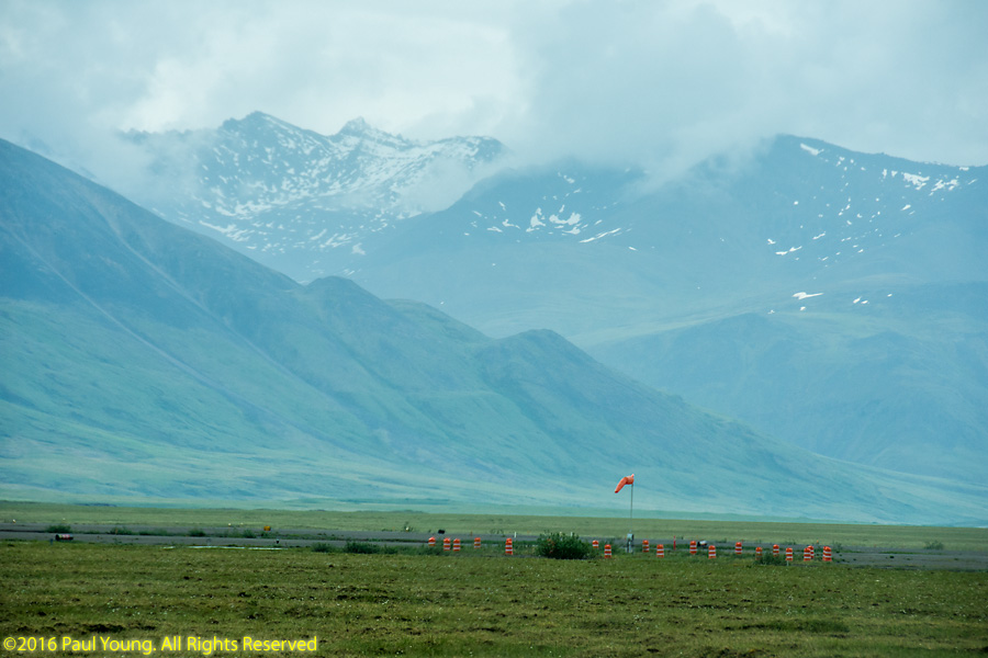
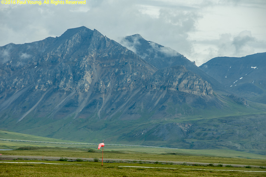
Happy Valley Camp, at mile 334, has an airstrip. Originally this was a pipeline construction camp.
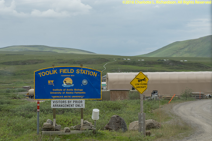
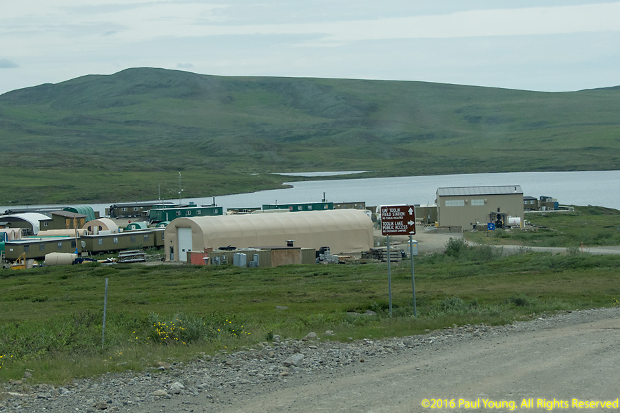
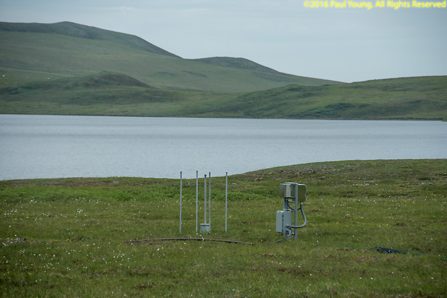
Toolik Lake Field Station at mile 284 is run by the Institute of Arctic Biology of the University of Alaska Fairbanks. The station conducts studies on arctic ecosystems and global climate change.
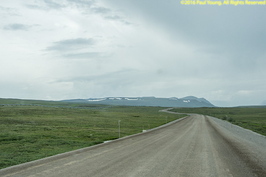
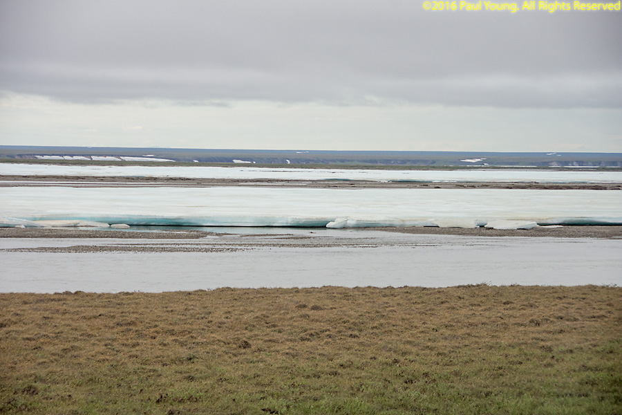
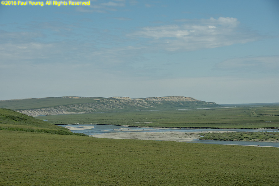
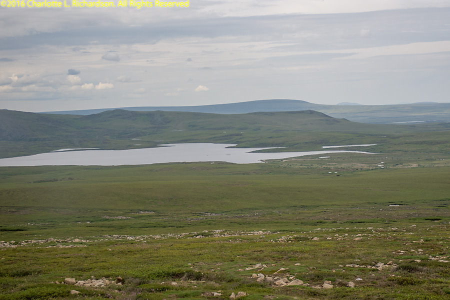
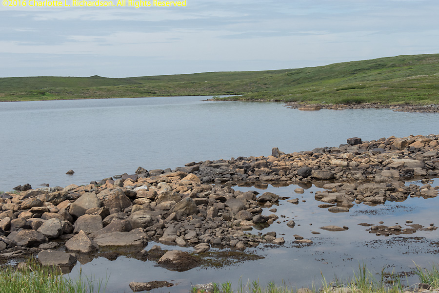
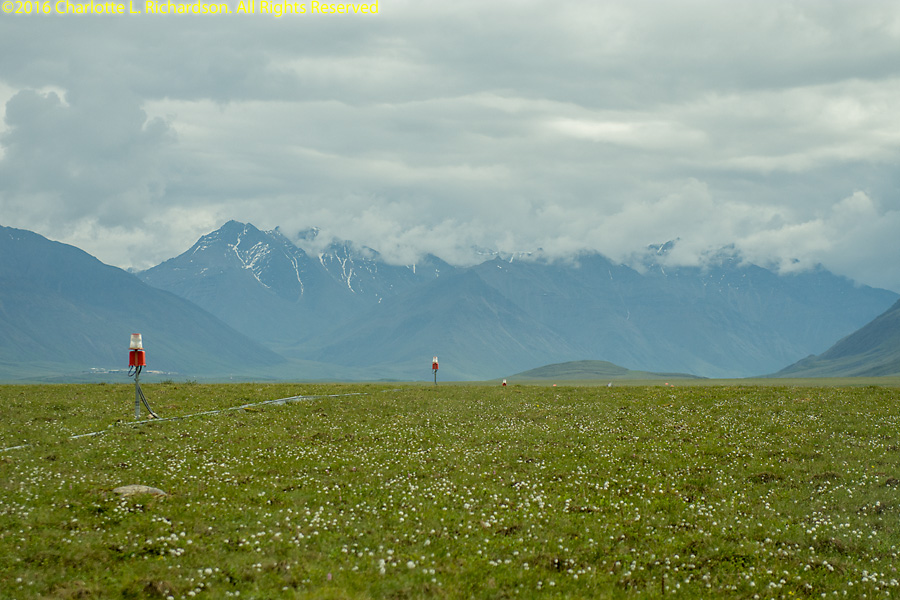
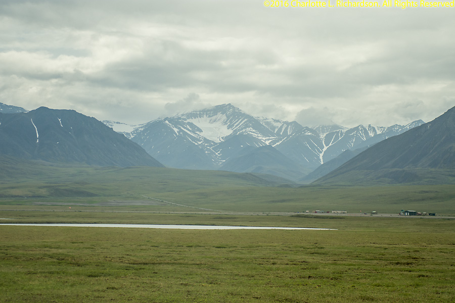
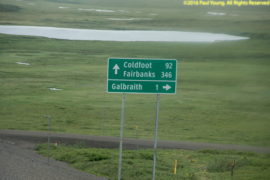
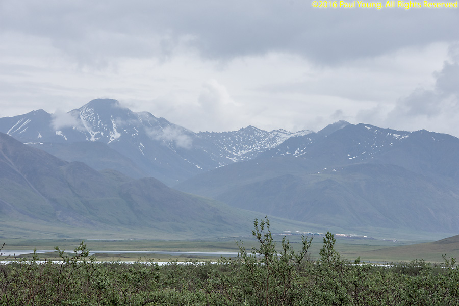
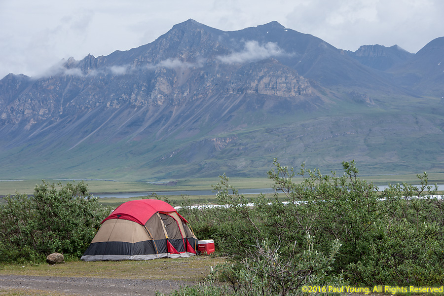
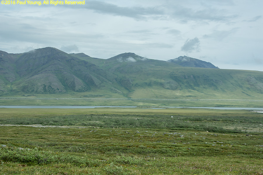
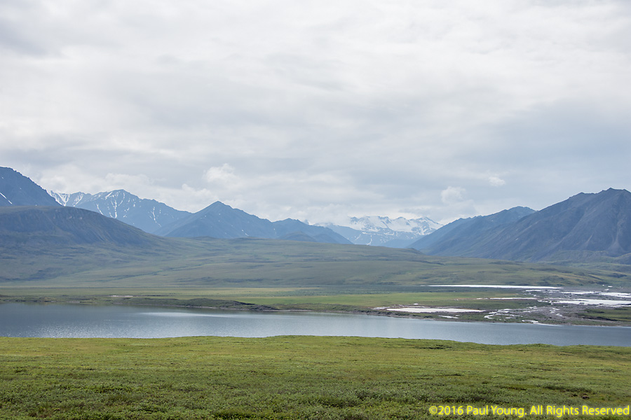
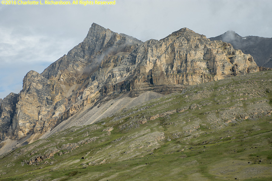
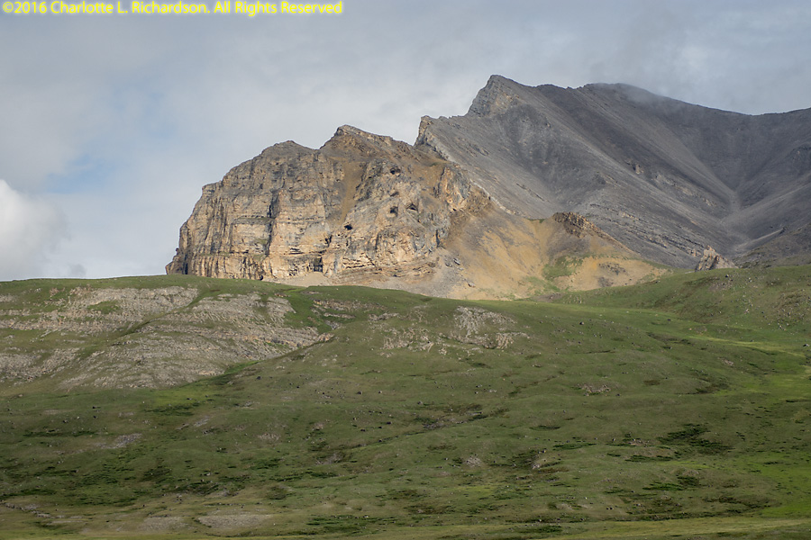
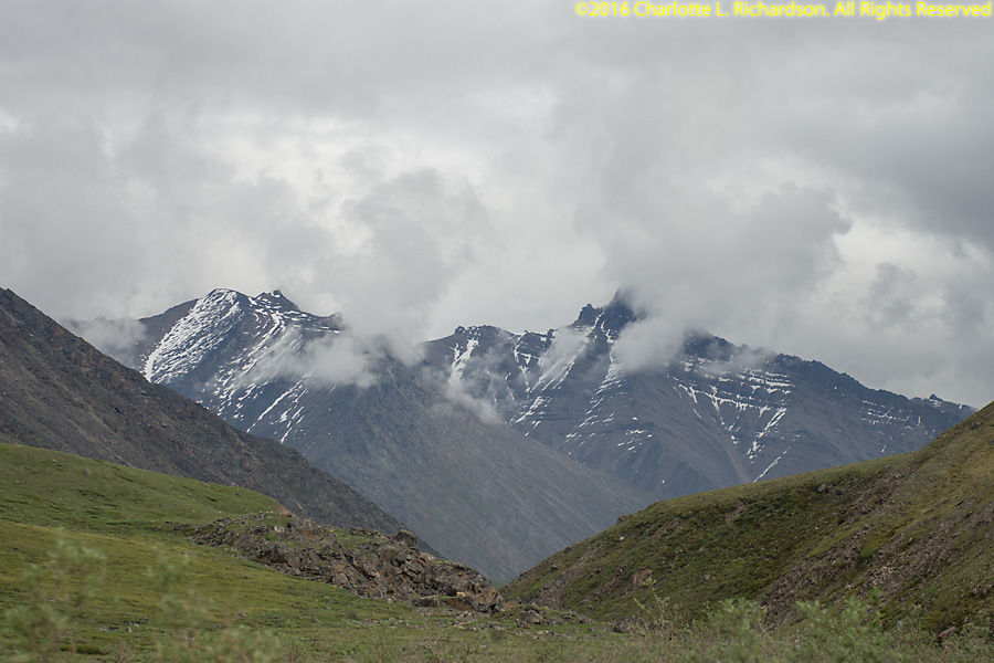
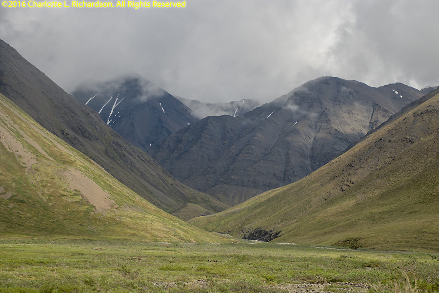
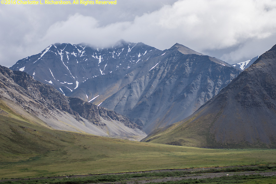
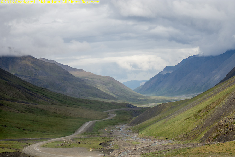
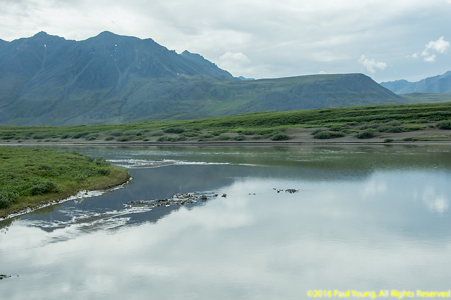
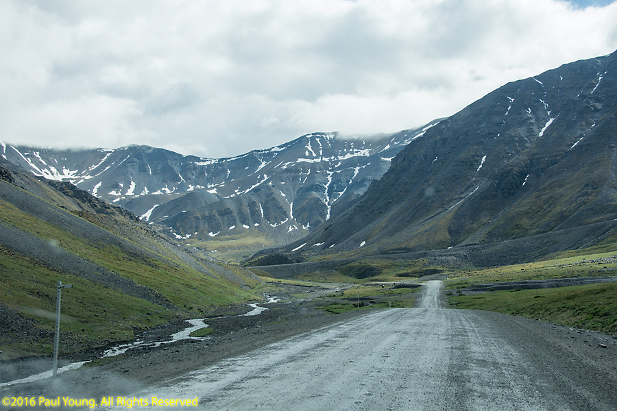
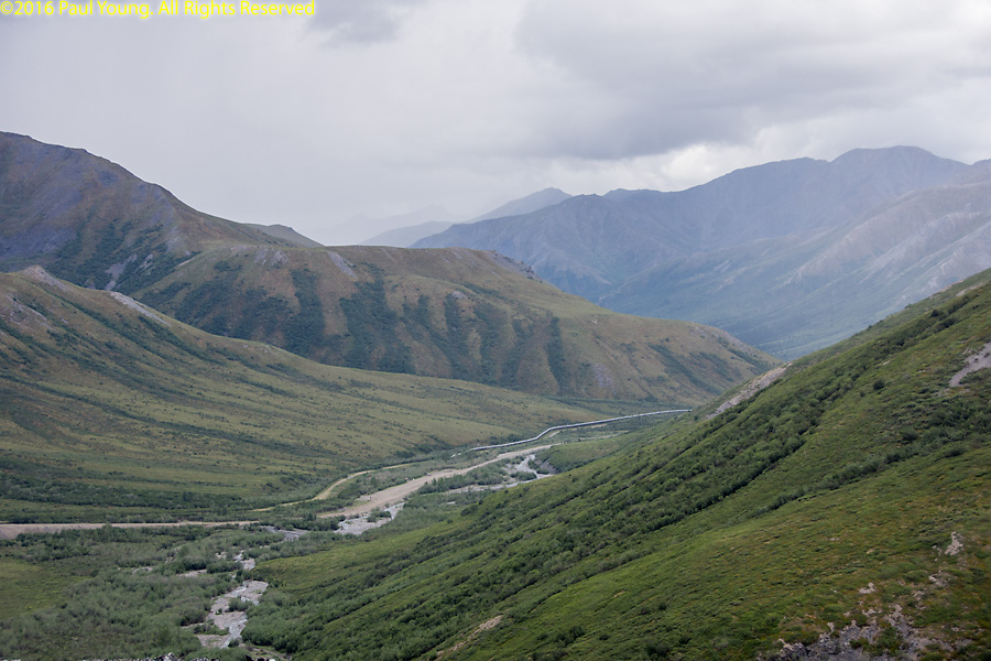
Galbraith Lake and campground are on the west side of the Dalton Highway between mile 272 and mile 275. It has a landing strip. The lake is the remains of a large glacial lake that filled the entire Atigun Valley.
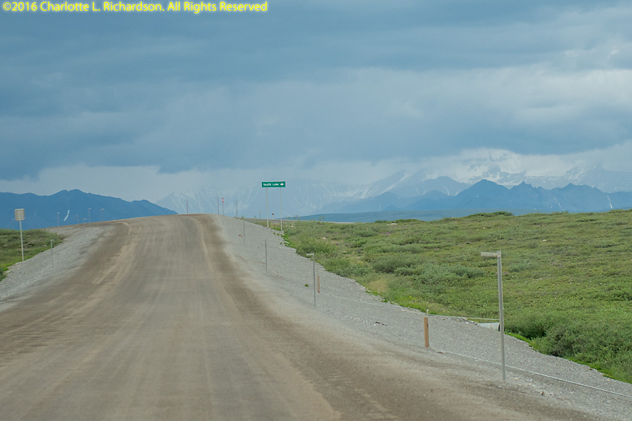
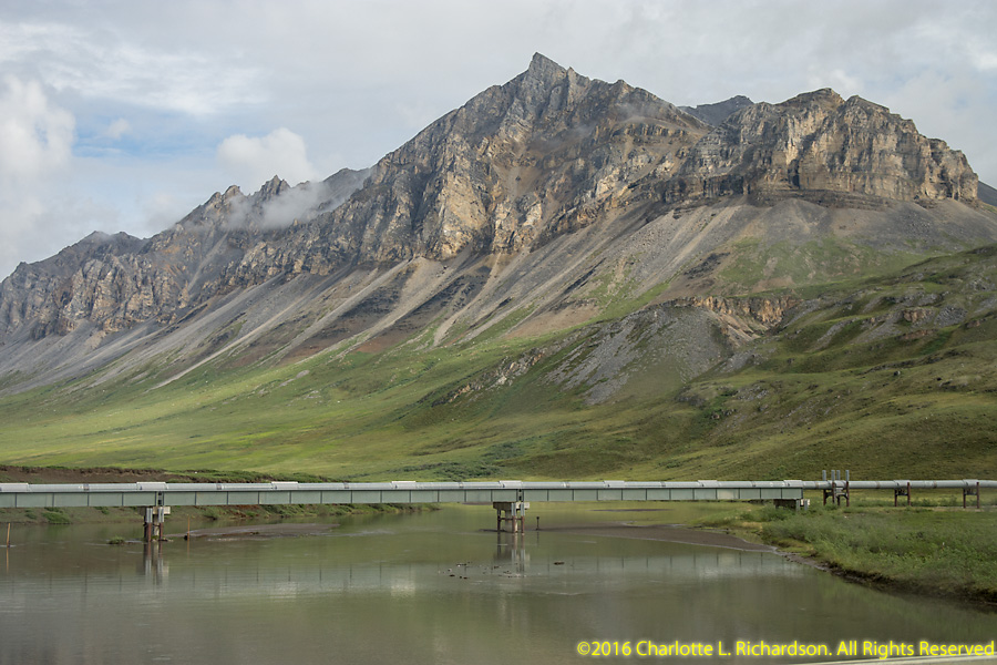
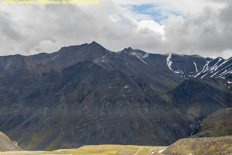
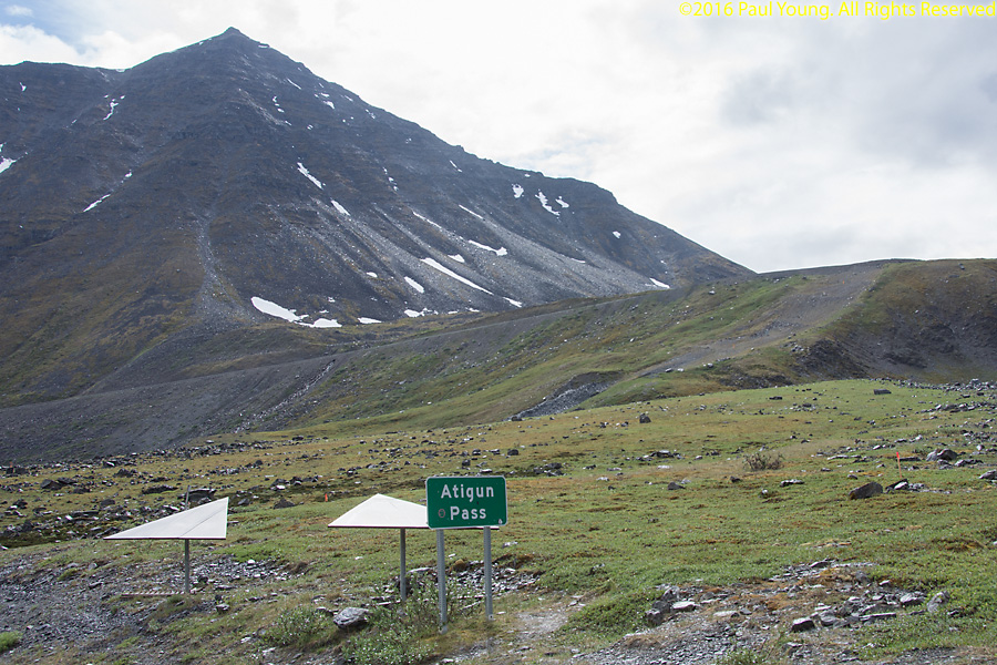
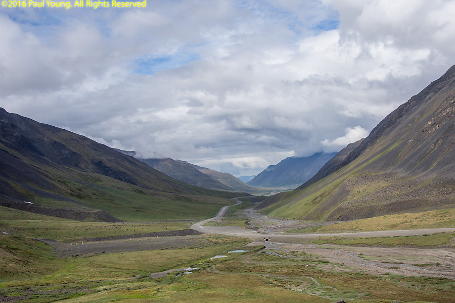
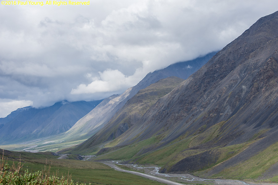
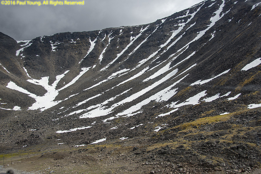
Atigun Pass
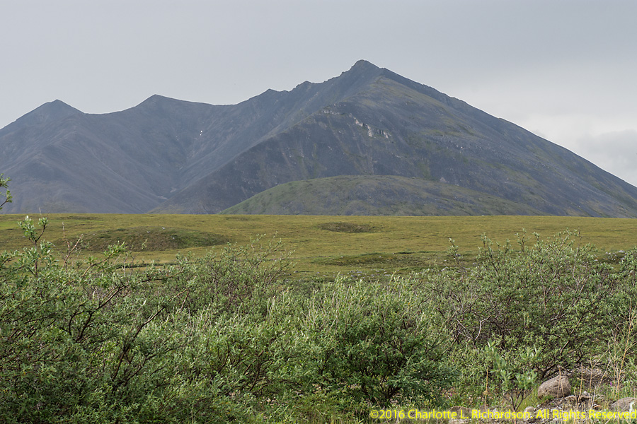
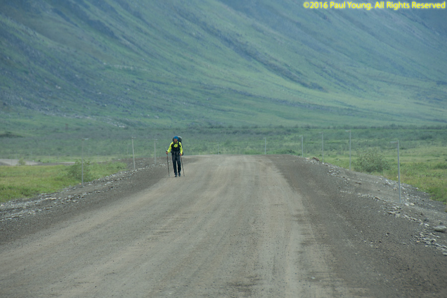
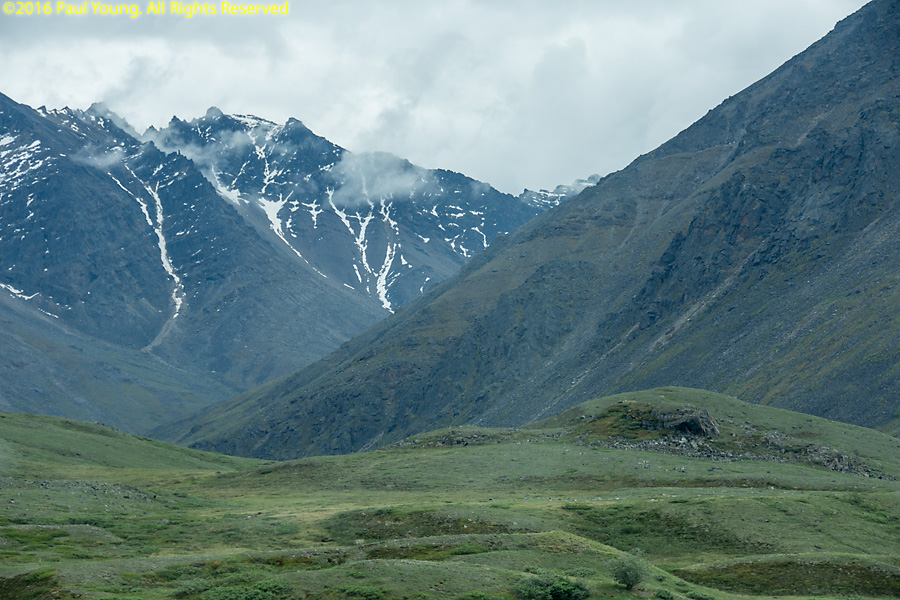
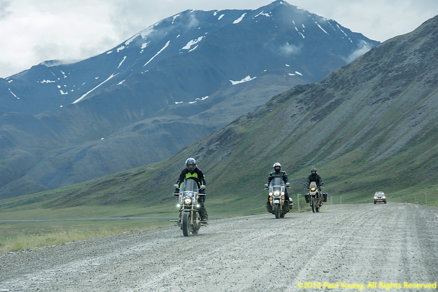
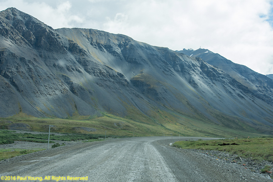
Atigun Pass, in the Brooks Range, is where the Dalton Highway crosses the Continental Divide, at mile marker 244. It is the highest pass, at 4739', in Alaska that is maintained year-round and the only pass in the Brooks Range that is crossed by a road. It is a difficult pass to negotiate in a small plane due to its rapid elevation and heading change (hence the markers); Anaktuvuk Pass is a safer flight route.
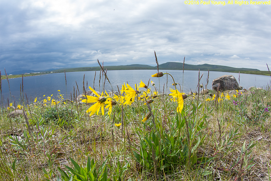
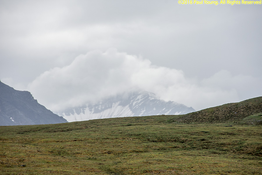
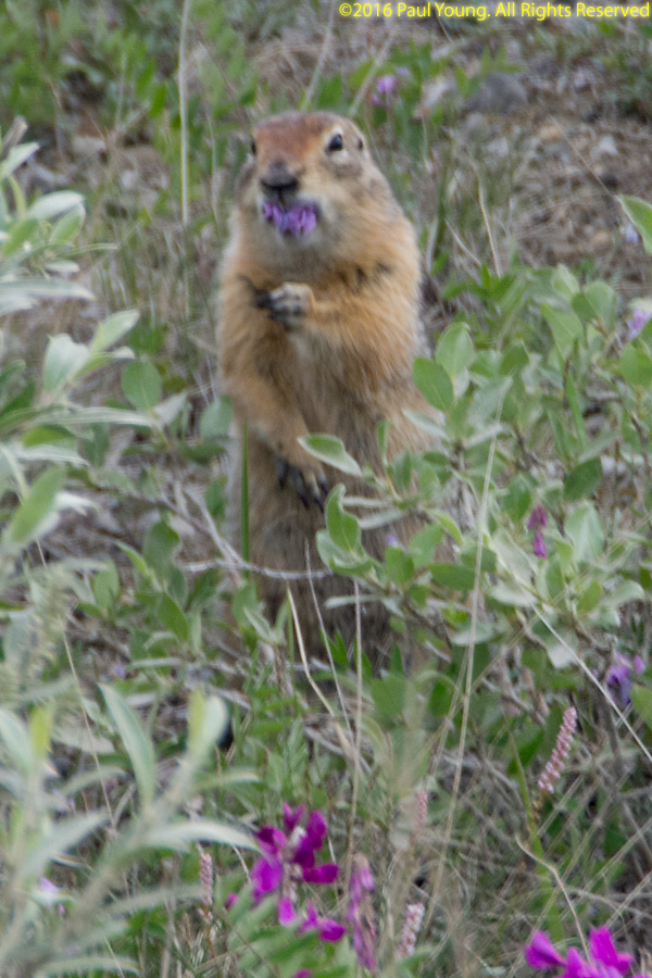
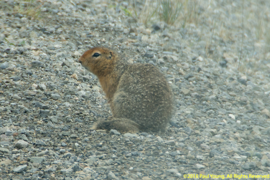
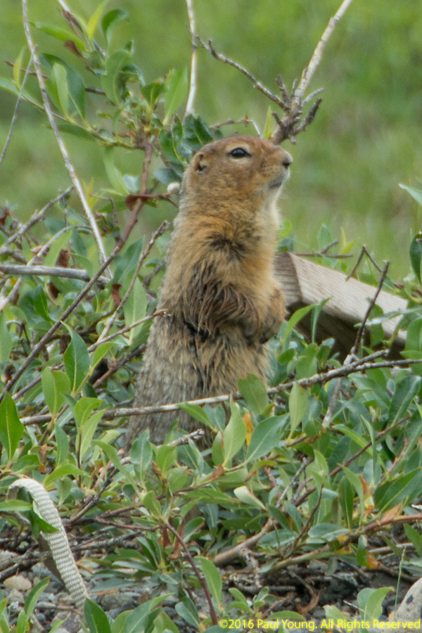
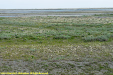 Tundra, tundra flowers